


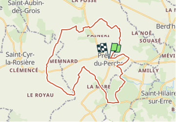
Préaux du Perche 19.7

togolo28
User

Length
19.7 km

Max alt
199 m

Uphill gradient
258 m
Km-Effort
23 km

Min alt
114 m

Downhill gradient
259 m
Boucle
Yes
Creation date :
2017-09-13 00:00:00.0
Updated on :
2017-09-13 00:00:00.0
5h02
Difficulty : Medium

FREE GPS app for hiking
 SityTrail
IGN / Geographical institutes
SityTrail Plus
The world is yours!
About
Trail Walking of 19.7 km to be discovered at Normandy, Orne, Perche en Nocé. This trail is proposed by togolo28.
Description
Très beau circuit de 20Km
Départ de l''église de Préaux du Perche
Passage à mi chemin au Prieuré de Ste Gauburge et Ecomusée du Perche
Positioning
Country:
France
Region :
Normandy
Department/Province :
Orne
Municipality :
Perche en Nocé
Location:
Unknown
Start:(Dec)
Start:(UTM)
329737 ; 5355565 (31U) N.
Comments